Research

Monsoon systems, cyclones, extreme rainfall, and AI-driven forecasting.

Research

A Global Tropical Survey of Midtropospheric Cyclones

A Global Tropical Survey of Midtropospheric Cyclones

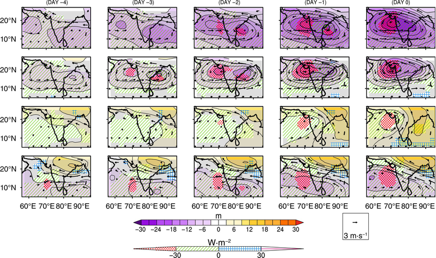
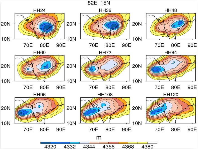
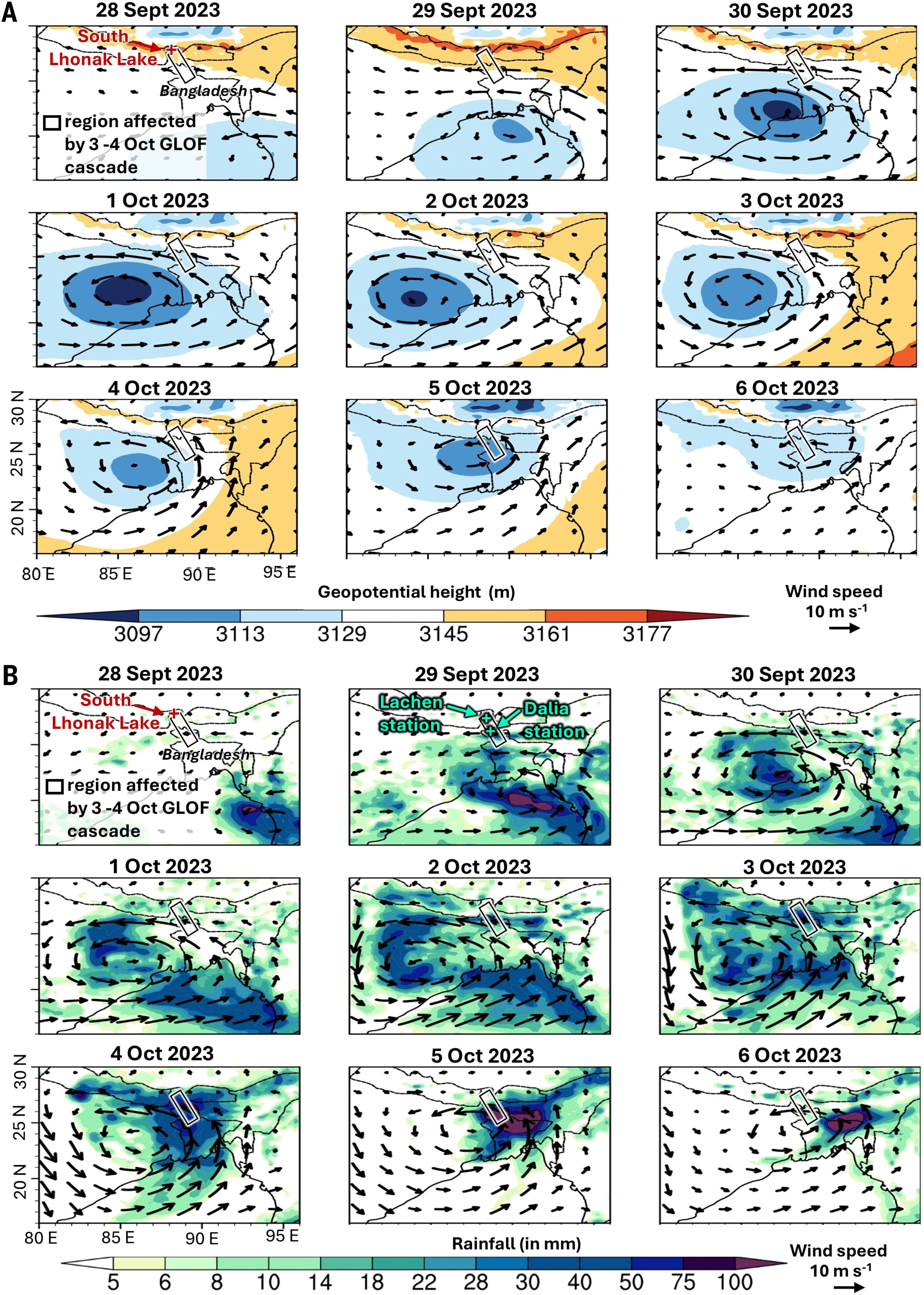
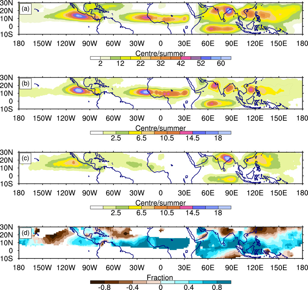
Abstract: Midtropospheric cyclones (MTCs) are moist synoptic systems with distinct midtropospheric vorticity maxima and weak signatures in the lower troposphere. Composites and statistics of tropical MTCs are constructed and compared with monsoon lows and depressions [together, lower-troposphere cyclones (LTCs)]. We begin with South Asia, where tracking reveals that MTCs change character during their life, i.e., their track comprises MTC and LTC phases. The highest MTC-phase density and least motion are over the Arabian Sea, followed by the Bay of Bengal and the South China Sea. An MTC-phase composite shows an east–west-tilted warm-core above a deep cold-core temperature anomaly with maximum vorticity at 600 hPa. In contrast, the LTC-phase shows a shallow cold core below 800 hPa and a warm upright temperature anomaly with a lower-tropospheric vorticity maximum. Globally, systems with MTC-like morphology are observed over west and central Africa and the east and west Pacific in boreal summer. In boreal winter, regions that support MTCs include northern Australia, the southern Indian Ocean, and southern Africa. MTC fraction is higher equatorward where there is a cross-equatorial low-level jet that advects oppositely signed vorticity, whereas LTCs are more prevalent farther poleward. Finally, a histogram of differential vorticity (the difference between middle and lower levels) versus the height of peak vorticity for cyclonic centers is shown to be bimodal. One peak, around 600 hPa, corresponds to MTCs, while the second, at approximately 900 hPa, comes from LTCs. Thus, moist cyclonic systems in the tropics have a natural tendency to reside in either the MTC or LTC category.

Read More →
Classification of mid-tropopsheric cyclones over the Arabian Sea and western India<

Classification of mid-tropopsheric cyclones over the Arabian Sea and western India

Abstract:The formation of mid-tropospheric cyclones (MTCs), responsible for a large portion of annual precipitation and extreme rainfall events over western India, is studied using an unsupervised machine learning algorithm and cyclone tracking. Both approaches reveal four dominant weather patterns that lead to the genesis of these synoptic systems. Specifically, re-intensification of westward-moving synoptic systems from the Bay of Bengal (type 1, 51%), in-situ formation with a coexisting cyclonic system over the Bay of Bengal that precedes (type 2a, 31%) or follows (type 2b, 10%) genesis in the Arabian Sea, and finally in-situ genesis within a northwestward-propagating cyclonic anomaly from the south Bay of Bengal (type 2c, 8%). Thus, a large fraction of this region's rainy middle tropospheric synoptic systems form in association with cyclonic activity in the Bay of Bengal. The four variants identified also show a marked dependence on large-scale environmental features. In particular, type 1 and type 2a MTC formation primarily occurs in phases 4 and 5, and type 2b and type 2c MTCs form mainly in phases 3 and 4 of the boreal summer intraseasonal oscillation. Further, though in-situ formation with a Bay of Bengal cyclonic anomaly (types 2a and 2b) mostly occurs in June, downstream development is more likely in the core of the monsoon season. Out of all categories, type 2a is associated with the highest composite rain rate (60 mm/day) over western India and points towards the dynamic interaction between a low-pressure system over the Bay of Bengal and the development of MTCs over western India and the northeast Arabian Sea. This classification, identification of precursors, connection with cyclonic activity over the Bay of Bengal, and dependence on a large-scale environment provide an avenue for a better understanding of rain-bearing MTCs over western India.

Read More →
Role of Bay of Bengal low-pressure systems in the formation of mid-tropospheric cyclones over the Arabian Sea and western India

Role of Bay of Bengal low-pressure systems in the formation of mid-tropospheric cyclones over the Arabian Sea and western India

Abstract:Arabian Sea mid-tropospheric cyclones (MTCs), responsible for extreme rainfall events in Western India, often coincide with monsoon low-pressure systems (LPSs) over the Bay of Bengal. However, the influence of Bay of Bengal LPSs on the formation of Arabian Sea MTCs remains unclear. This study utilizes the Weather Research and Forecasting Model (WRF) to investigate the atmospheric connection between these two basins. By introducing a balanced bogus vortex over the Bay of Bengal, cyclonic systems are induced over the Arabian Sea in the majority of ensemble members, exhibiting characteristics consistent with observations. In particular, as the Bay of Bengal vortex moves westward, the middle tropospheric trough deepens, horizontal wind shear increases, the low-level Arabian Sea stable inversion layer weakens, and the middle troposphere moisture content over Western India and the northeast Arabian Sea rises. Subsequently, MTC genesis occurs over the northeast Arabian Sea along the western edge of the trough within 2–4 days of model integration. A vorticity budget analysis highlights the critical role of vorticity advection and tilting during the initial 24 h of MTC genesis, while vortex stretching becomes the dominant vorticity source during rapid intensification. To substantiate these findings further, a mechanism denial experiment is conducted using a real-world instance of a coexistent Arabian Sea MTC and Bay of Bengal LPS, replicated in the model. In this experiment, conditions unfavorable for LPS genesis are created by cooling and drying the Bay of Bengal. The results demonstrate that the absence or reduced intensity of the Bay of Bengal LPS inhibits formation of the Arabian Sea MTC. In all, this study presents compelling evidence for the significant influence of Bay of Bengal low-pressure systems on the formation of severe weather-inducing MTCs over the Arabian Sea and Western India.

Read More →
The Sikkim flood of October 2023

The Sikkim flood of October 2023: Drivers, causes, and impacts of a multihazard cascade

Abstract: LOn 3 October 2023, a multihazard cascade in the Sikkim Himalaya, India, was triggered by 14.7 million cubic meters of frozen lateral moraine collapsing into South Lhonak Lake. The impact generated an ~20-meter tsunami-like impact wave, which breached the moraine and drained ~50 million cubic meters of the lake’s water. The ensuing glacial lake outburst flood (GLOF) eroded ~270 million cubic meters of sediment, which overwhelmed infrastructure, including hydropower installations along the Teesta River. The physical scale and human and economic impacts of this event prompt urgent reflection on the role of climate change and human activities in exacerbating such disasters. Insights into multihazard evolution are pivotal for informing policy development, enhancing early warning systems (EWS), and spurring paradigm shifts in GLOF risk management strategies in the Himalaya and other mountain environments..

Read More →